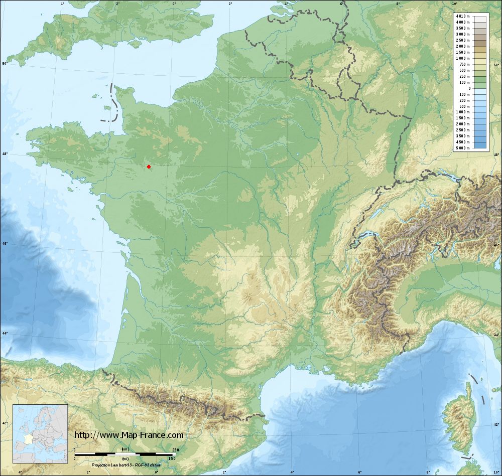
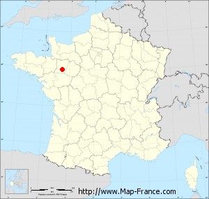
Le Bignon-du-Maine on the relief France map in Lambert 93 coordinates
|

See the map of Le Bignon-du-Maine in full screen (1000 x 949)
|
At left, here is the location of Le Bignon-du-Maine on the relief France map in Lambert 93 coordinates.
Here are the altitudes of Le Bignon-du-Maine :
- Town hall altitude of Le Bignon-du-Maine is 100 meters
- Minimum altitude of Le Bignon-du-Maine is 68 meters
- Maximum altitude of Le Bignon-du-Maine is 114 meters
- Medium altitude of Le Bignon-du-Maine is 91 meters
Here are the altitudes of Laval, prefecture of Mayenne department:
- Town hall altitude of Laval is 51 meters
- Minimum altitude of Laval is 42 meters
- Maximum altitude of Laval is 122 meters
- Medium altitude of Laval is 82 meters
Here are the altitudes of the french biggest cities:
Paris : 33 meters
Marseille : 20 meters
Lyon : 237 meters
Toulouse : 146 meters
Nice : 10 meters
Nantes : 20 meters
Strasbourg : 144 meters
Montpellier : 35 meters
Bordeaux : 16 meters
Lille : 20 meters
Rennes : 35 meters
Reims : 83 meters
Click here for the terrain map of Le Bignon-du-Maine in full screen:
Relief map of Le Bignon-du-Maine
|
This relief map of Le Bignon-du-Maine is reusable and modifiable by making a link to this page of the Map-France.com website or by using the given code :
|
Terrain base map of Le Bignon-du-Maine
|
See the terrain base map of Le Bignon-du-Maine in full screen (1000 x 949)
|
Small relief base map of Le Bignon-du-Maine
|
This base map of Le Bignon-du-Maine is reusable and modifiable by making a link to this page of the Map-France.com website or by using the given code :
|
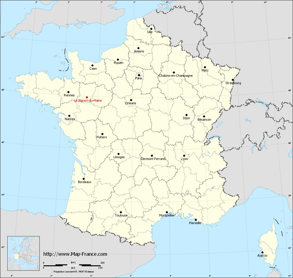
Map of Le Bignon-du-Maine with regions and prefectures
|
View the map of Le Bignon-du-Maine in full screen (1000 x 949)
|
You will find the location of Le Bignon-du-Maine on the map of France of regions in Lambert 93 coordinates. The town of Le Bignon-du-Maine is located in the department of Mayenne of the french region Pays de la Loire.
Geographical sexagesimal coordinates / GPS (WGS84):
Latitude: 47° 57' 02'' North
Longitude: 00° 36' 36'' West
Geographical decimal coordinates :
Latitude: 47.952 degrees (47.952° North)
Longitude: -0.61 degrees (0.61° West)
Lambert 93 coordinates :
X: 4 306 hectometers
Y: 67 673 hectometers
Lambert 2 coordinates :
X: 3 799 hectometers
Y: 23 320 hectometers
Below, the geographical coordinates of Laval, prefecture of the Mayenne department:
Geographical sexagesimal coordinates / GPS (WGS84):
Latitude: 48° 04' 22'' North
Longitude: 00° 46' 12'' West
Geographical decimal coordinates :
Latitude: 48.072 degrees (48.072° North)
Longitude: -0.773 degrees (0.773° West)
Lambert 93 coordinates :
X: 4 193 hectometers
Y: 67 814 hectometers
Lambert 2 coordinates :
X: 3 685 hectometers
Y: 23 461 hectometers
|
This map of Le Bignon-du-Maine is reusable and modifiable by making a link to this page of the Map-France.com website or by using the given code :
|
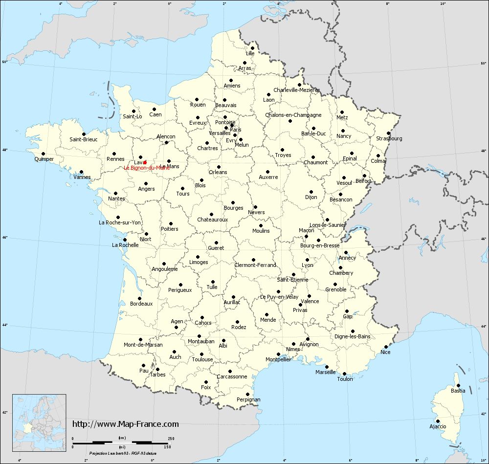
Map of Le Bignon-du-Maine with departments and prefectures
|
Voir la carte of Le Bignon-du-Maine en grand format (1000 x 949)
|
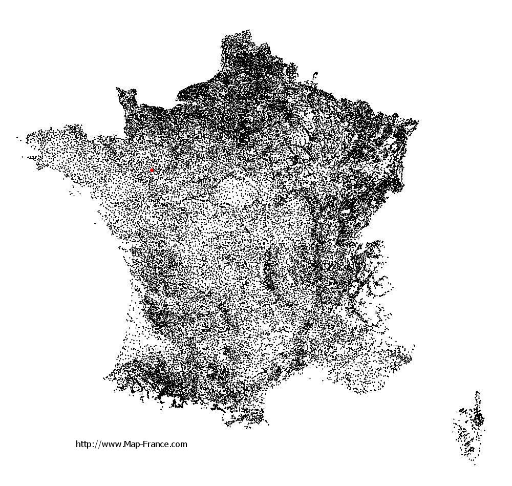
Here is the localization of Le Bignon-du-Maine on the France map of departments in Lambert 93 coordinates. The city of Le Bignon-du-Maine is shown on the map by a red point.
The town of Le Bignon-du-Maine is located in the department of Mayenne of the french region Pays de la Loire.
The latitude of Le Bignon-du-Maine is 47.952 degrees North.
The longitude of Le Bignon-du-Maine is 0.61 degrees West.
Here the distance between Le Bignon-du-Maine and the biggest cities of France:
Distances are calculated as the crow flies (orthodromic distance)
Distance between Le Bignon-du-Maine and Paris : 240.25 kilometers
Distance between Le Bignon-du-Maine and Marseille : 696.32 kilometers
Distance between Le Bignon-du-Maine and Lyon : 479.88 kilometers
Distance between Le Bignon-du-Maine and Toulouse : 509.13 kilometers
Distance between Le Bignon-du-Maine and Nice : 770.03 kilometers
Distance between Le Bignon-du-Maine and Nantes : 107.82 kilometers
Distance between Le Bignon-du-Maine and Strasbourg : 622.38 kilometers
Distance between Le Bignon-du-Maine and Montpellier : 594.37 kilometers
Distance between Le Bignon-du-Maine and Bordeaux : 345.4 kilometers
Distance between Le Bignon-du-Maine and Lille : 398.11 kilometers
Distance between Le Bignon-du-Maine and Rennes : 81.39 kilometers
Distance between Le Bignon-du-Maine and Reims : 370.52 kilometers
Clic here to see the map of Le Bignon-du-Maine in full screen:
Le Bignon-du-Maine on the map of french departments
|
This administrative map of Le Bignon-du-Maine is reusable and modifiable by making a link to this page of the Map-France.com website or by using the given code :
|
Administrative base maps of Le Bignon-du-Maine
|

See the administrative base map of Le Bignon-du-Maine in full screen (1000 x 949)
|
Small administrative base map of Le Bignon-du-Maine
|
This base map administrative of Le Bignon-du-Maine is reusable and modifiable by making a link to this page of the Map-France.com website or by using the given code :
|
 French Version : http://www.cartesfrance.fr